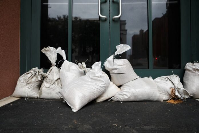
The US National Hurricane Center (NHC) warned that Helen will continue to strengthen before reaching the coast, Fox News reports. Storm surge has become a problem for Southwest Florida. On Thursday morning, the cities of St. Petersburg and Naples reported a rise in water levels along the coast of more than 60 centimeters. The NHC said there is a significant risk of life-threatening storm surge along the entire west coast of the Florida peninsula, as well as in the Big Bend region, due to the large size of the hurricane.
The National Weather Service in Tallahassee, Florida’s capital, called the expected storm surge in Apalachee Bay “catastrophic and potentially intolerable.” The number of power outages begins to increase as Helen approaches Florida. Before landfall, more than 300,000 customers were without power and outages were also increasing in Georgia and North Carolina.
Conditions are expected to continue to deteriorate throughout Florida. The night before, the wave quickly flooded the streets around St. Pete Beach. President Joe Biden declared a state of emergency in Alabama on Thursday ahead of Hurricane Helen’s approach to neighboring Florida, the Associated Press reported. The governors of Florida, Georgia, the Carolinas and Virginia have already declared emergencies in their states.
“The impacts of this storm are colossal and will affect several states as far as the Carolinas and southern Appalachia: storm surge, hurricane- and tropical-storm-force winds, and potential for catastrophic rainfall,” said NHC Director Dr. Michael Brennan.
Brennan mentioned 2018’s Hurricane Michael when talking about how deadly and dangerous storm surge can be. “When Hurricane Michael hit Mexico Beach in 2018, there were people who waited until the last minute and drowned in their cars trying to escape because the water was coming in so fast they couldn’t get out,” Brennan said. . “That’s why you have to follow the evacuation orders given to you by local authorities and leave before the storm hits. In many of these areas you still have time, but it is running out quickly,” he added.
Water levels in the Swannanoa and French Broad rivers are forecast to reach levels not seen since the 1916 flood in western North Carolina that killed 80 people and isolated the city of Asheville for weeks. Emergency officials also fear landslides because fast-moving water could pick up mud and rocks and send them cascading down mountain slopes.

